
Reservoir Hollow
This is a four-mile trail, and it is an out-and-back trail. The trail begins by crossing Noels Run several times as it climbs through Reservoir Hollow. After leaving the creek behind, it climbs quickly to a saddle between Elephant Mountain and the Blue Ridge. From there, it becomes a mostly wooded hike, with a small side trail offering stunning views, if you manage to keep your eyes out for it. After the saddle, there is a long descent punctuated by several short climbs to Route 60.
Description
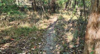
The trail description begins at a metal gate in Buena Vista. There is a small sign for the Reservoir Hollow Trail with the distance to Route 60 listed as 4.0 miles. Initially, the trail is wide and easy to follow.

Noel Run is crossed within five minutes of the trailhead. If the water is high, it may be necessary to take off boots to cross. This is the first of six creek crossings as the trail climbs up through Reservoir Hollow.
On the right and left of the trail are large areas of scree slopes. Just past the scree slope, it is necessary to cross Noel Run again. Next, there is a junction of several trails. At the intersection, one trail exits to the left and follows the small stream up a narrow-walled canyon. A second bears to the right and follows the stream to old concrete ponds that served as water storage for Buena Vista. Take the trail that continues straight. Now, Reservoir Hollow Trail begins to climb.
After a brief climb, the trail bends left. After crossing the creek a third time, there is a wonderful bowl on the right filled with tall poplars and oaks. After the fourth crossing, the creek will be on the right. The grade is a gentle uphill. The trail is lined with boulders.
After the sixth crossing, the climb becomes moderate. A three-forked Chestnut oak marks a left bend, and the trail climbs a finger ridge away from Reservoir Hollow. The landscape is drier with Mountain laurel in the understory and pines and Chestnut oak in the overstory. Elephant Mountain is on the left.
A right switchback leads to the nose of the finger ridge. This is followed by a bend to the left and another right switchback. The climb is more taxing. At the left bend marked by a big, old pine, the grade changes from moderate to easy. Cross a small spring exiting the ground from under a boulder and pass through two boulder fields before reaching the saddle between Reservoir Hollow and Indian Gap Run.
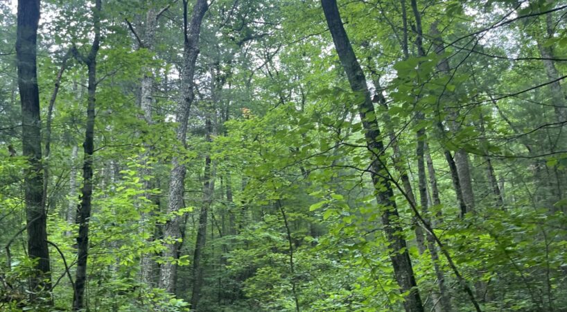
Turn right to continue on the Reservoir Hollow Trail. The trail climbs briefly along an old road before entering the Indian Gap Run drainage. A right bend marks the top of the ridge, where the grade levels out and the forest opens into a park-like setting filled with tall poplars and oaks.
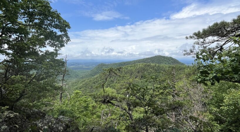
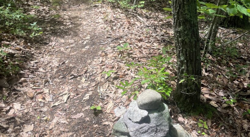
About 0.3 miles from the top, the Reservoir Hollow Trail intersects with the Indian Rocks Trail. There is no sign marking the junction. To stay on the Reservoir Hollow Trail, take the left fork. If you choose to go right, the trail continues uphill for about 0.4 miles to a rock outcrop. Along this route, you'll come across a distinctive man-made rock tower.

Just to the left of the tower, a narrow path branches off, follow it for a short distance to discover a stunning overlook of the surrounding landscape. It's a perfect spot to rest and take in the sweeping views.

Back at the junction, take the left fork to descend gradually to a smaller feeder stream. After crossing the stream once, it runs along the left side of the trail. Cross it a second time to reach Indian Gap Run and the junction with the long-forgotten Indian Gap Run Trail. This point is about 3.0 miles from the start.
The trail crosses Indian Gap Run and begins a gentle climb to a left bend, passes through a small boulder field, and enters a forest of yellow pine with Mountain laurel in the understory. A broad bend to the left brings you back into a canopy of tall cove hardwoods. In this hollow, a large boulder offers a quiet place to sit and enjoy the serenity of the forest.
After crossing the hollow and a small feeder creek, the trail begins contouring along the side of the mountain. It weaves through several small hollows and crosses over multiple finger ridges. Eventually, it passes under a power line before beginning an easy climb to a low saddle.
From here, the trail descends steadily, with a moderate grade. A right switchback is followed by a left switchback as the descent continues. The trail then crosses a small creek and makes its final descent to US 60. At the trail’s end, you'll find a sign for the Reservoir Hollow Trail; the distance back to 12th Street is 4.0 miles.
Driving Directions
From the Lexington Visitors Center, turn left onto East Washington Street and proceed 0.25 miles to the stoplight on US 60 (East Nelson Street). Turn left and travel 8.9 miles to a small pull-off on the right. This is a small pull-off. It is best to park back down the road about 0.1 miles to a large pull-off on the right.
Insider’s Tips
If you're hungry after the hike and looking for a quick bite, Buena Vista has some great local spots to check out! The new Five and Dime Pizza is already becoming a town favorite for its creative pies and cozy atmosphere. 501 Roadhouse LLC offers classic American meals and a laid-back vibe, and if you're craving something sweet or just need a refreshing pick-me-up, Straws is a Buena Vista classic.