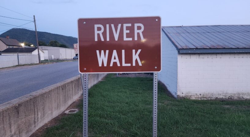
Buena Vista River Walk
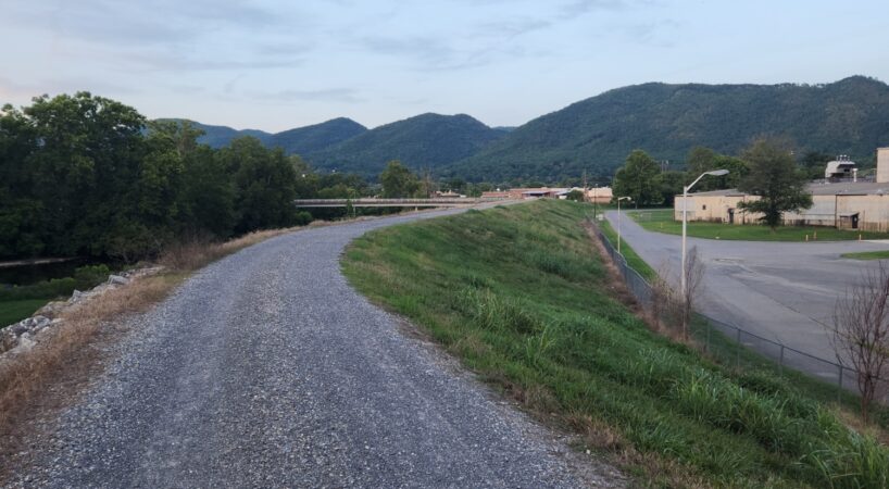
One walk heads north on the Buena Vista flood wall and parallels to the Maury River. It passes through the industrial heartland of the city. Another walk heads south on the Buena Vista flood wall and parallels the Maury River. The river is on the right and a meadow is on the left. There is one bench along the way and a nice overlook at the end of the walk.
Description
Flood Wall Hike North
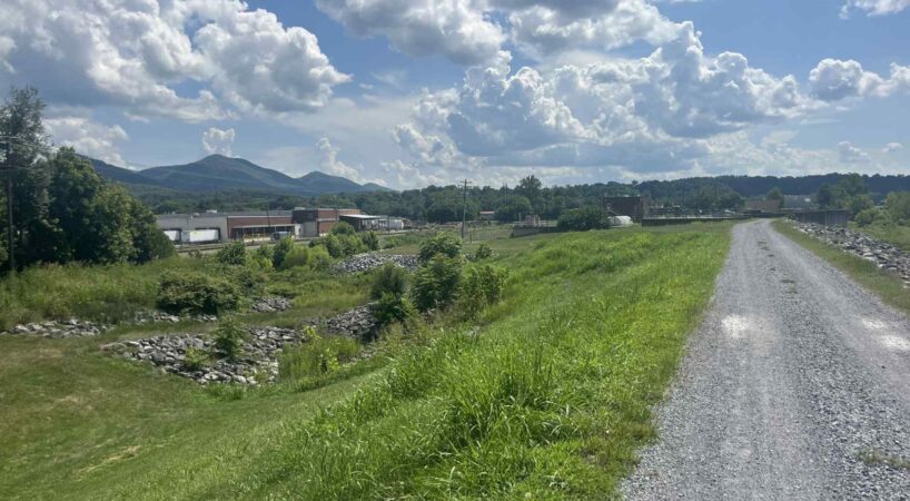
At the parking area walk slightly downhill toward the sign that says “DOWNTOWN”. Turn left on the gravel path. The Floodwall Trail follows a narrow road. After passing the treatment plant, there is a left turn. The trail climbs up to the top of the flood wall.

On the floodwall, there is a right turn. The trail crosses a flood gate and continues straight toward downtown Buena Vista. The Maury River is on the right and industrial buildings are on the left. At 1.0 mile, a narrow road exits to the right. This leads to 21st Street and downtown Buena Vista. There is parking at the end of 21st Street. The Maury River walk continues straight another 0.2 miles to a barrier at the end of the flood wall.
Flood Wall Hike South
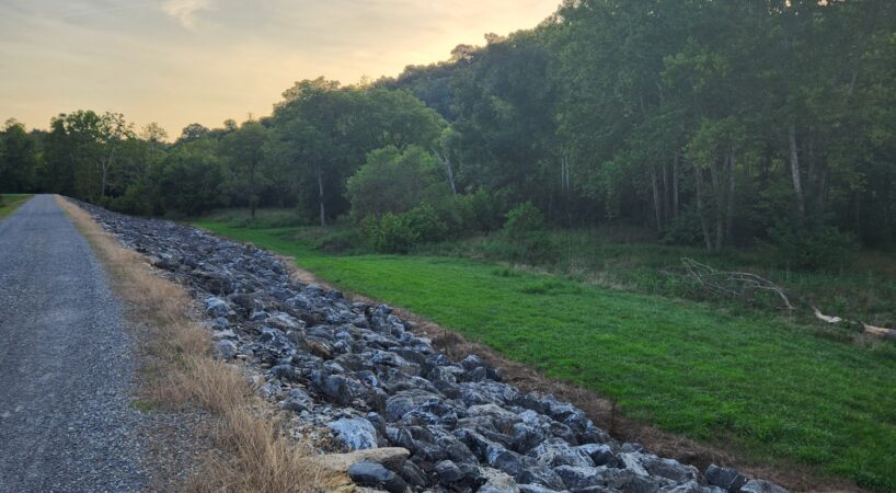
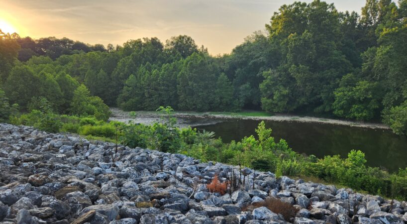
From the parking area, cross the street and climb to the top of the flood wall. There is a bench on the flood wall. Once on top, the Maury River is to the left and a small rapid
is visible from the walkway. The path follows the road along the top of the flood wall. About 0.2 miles there is a road that descends to the right. This road parallels the flood wall and can be used for a loop. Just past this side road, the path makes a long-left bend. There is another path that exits to the right and leads to a flood gate. There is a small bench at this junction. The flood wall continues beside the Maury River. Large American sycamores line the creek, and there are fields are on the left.

Driving Directions
From the Lexington Visitor Center turn left onto East Washington Street. Proceed 0.25 miles to a stoplight and turn left onto East Main Street. Continue 6.1 miles and turn right at the stoplight just past the train bridge. This is US 501 South. Follow US 501 for 1.5 miles to a stoplight at the intersection of 10th Street. Turn right and continue for 0.1 mile to a parking area on the right.
Note: These directions will lead you to the parking area for both hikes.
Driving Distance/Time: 8 miles/20 minutes

Tips
- There is no shade on this walk. It can be quite warm in the summer. This walk is best done either in the morning or early evening in the summer.
- It's a great trail for strollers or bikes, its surface ranges from loose to packed gravel.
Insider’s Tips
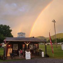
There are several quality eateries within minutes of this hike. Route 501 Roadhouse offers a diner experience with delicious BBQ, burgers, and an affordable buffet. Visit Holy Cow, located at the entrance to Glen Maury Park campgrounds, for sweet treats that will satisfy all your cravings.