

Your Paddling Guide for Lexington, Buena Vista, and Rockbridge County
By Casey L. Higgins, Freelance Writer
Those who love a challenging run on whitewater will feel the adrenaline rush of Class IV rapids through Goshen Pass after a soaking rain. Likewise, those who enjoy flat water for paddleboarding will relish the calm serenity of the Maury River between Jordan's Point and Buena Vista. For whichever way you prefer your water, we're confident you'll find the perfect stream in Rockbridge County. Go Outside!
The Maury River
The Maury River begins and ends in Rockbridge County. The Calfpasture and Little Calfpasture Rivers merge to form the Maury just west of Goshen where it begins its 30-mile run to meet the James River near Natural Bridge. Tumultuous at times, Goshen Pass is a beacon for whitewater lovers. After abundant spring rains, the river serves up Class IV rapids. Wicked sections of the river bear names like Devil's Kitchen and Corner Rapids - one long and technical, the other delivering intimidating obstacles like "Hematoma Hole" and "Hoffa Slot" -- as in Jimmy Hoffa. Don't disappear like Jimmy Hoffa.

You'll find accessing this stretch to be fairly easy as the river runs parallel to Route 39 with several pull-offs along the way. Be respectful of landowners and seek permission before leaving your vehicle in a place that is not obviously public.
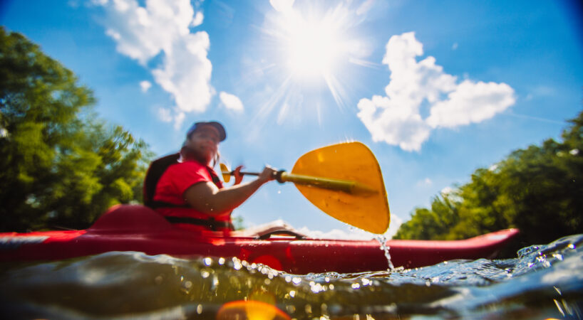
Fishermen kayakers will want their water a little more tame than that of Goshen Pass. Try the 2.5-mile section between Bean's Bottom and Jordan's Point. Put in at Furrs Mill Bridge and take out at Jordan's Point. This stretch is great for fishing, paddleboarding, canoeing, and swimming as the dam at Jordan's Point makes the water flat and easy. The dam is pending removal in October 2018. You'll want to enjoy this run sooner than later! And use an immense amount of caution as you approach the dam. Be prepared to exit the water well in advance.

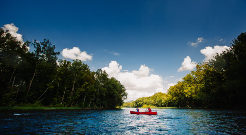
A great section for tubing or novice kayaking is Jordan's Point Park (below the dam) to the Route 60 Bridge in Buena Vista. It's 10 miles of pure serenity as you pass woods and pasture. The Chessie Nature Trail runs parallel to the river on an old rail bed. Wildlife and farm animals are around every bend.

Flat water is waiting for you between the Route 60 dam in Buena Vista and Glen Maury Park. You'll easily enjoy this stretch on paddleboard, kayak, tube, or canoe.
The 12 miles between Glen Maury Park in Buena Vista and Locher Landing in Glasgow are good for just about everything. The river flows away from Buena Vista and offers some serenity as it approaches the Town of Glasgow. It's not all flat water, but does offer a few Class I-II rapids.
More Information from Virginia Department of Game and Inland Fisheries
Check the current water levels for the Maury River near Goshen Pass
Check the current water levels for the Maury River near Buena Vista
The James River

The Upper James River Water Trail includes not only the James River but a portion of the Maury River as well. Following some recommended sections of the Trail, you'll find that the near-17 miles of floating from Arcadia in Botetourt County to Glasgow (map) is great for canoeing, kayaking, and fishing. Conversely, if you work the river from Glasgow to Snowden (map) - about three miles - Class II and III rapids like Balcony Falls deal a few challenges your way.
Check the water levels for the James River at the Blue Ridge Parkway near Big Island
