

Back Campus Trails
This hike is behind the campuses of W&L and VMI. It follows a series of well-worn paths through various forest types. It drops down to the Maury, follows the river upstream, and then climbs away from the river on its journey back to the parking lot.
Description
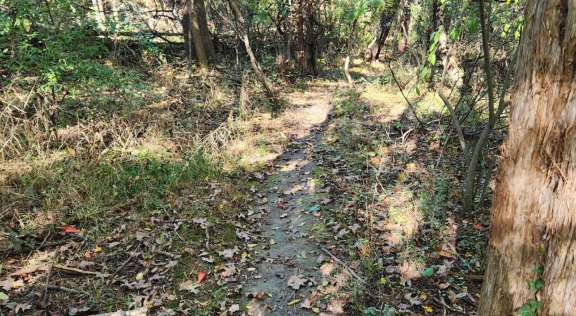
From the parking area, walk back toward West Denny Circle. There is a sidewalk on the right. Walk about fifty feet on the sidewalk and look for the opening in the woods across the Boneyard Road. This narrow entrance is the beginning of the hike. The narrow path begins with an easy descent through a forest of small cedar and hardwoods. While it is narrow, it is easy to follow. It passes a stone foundation on the right at 200 feet. There is a series of easy ups and downs until it reaches the junction with the Rocky Road Trail. The distance is 0.2 miles. The trail signs are blue with white lettering and arrows.
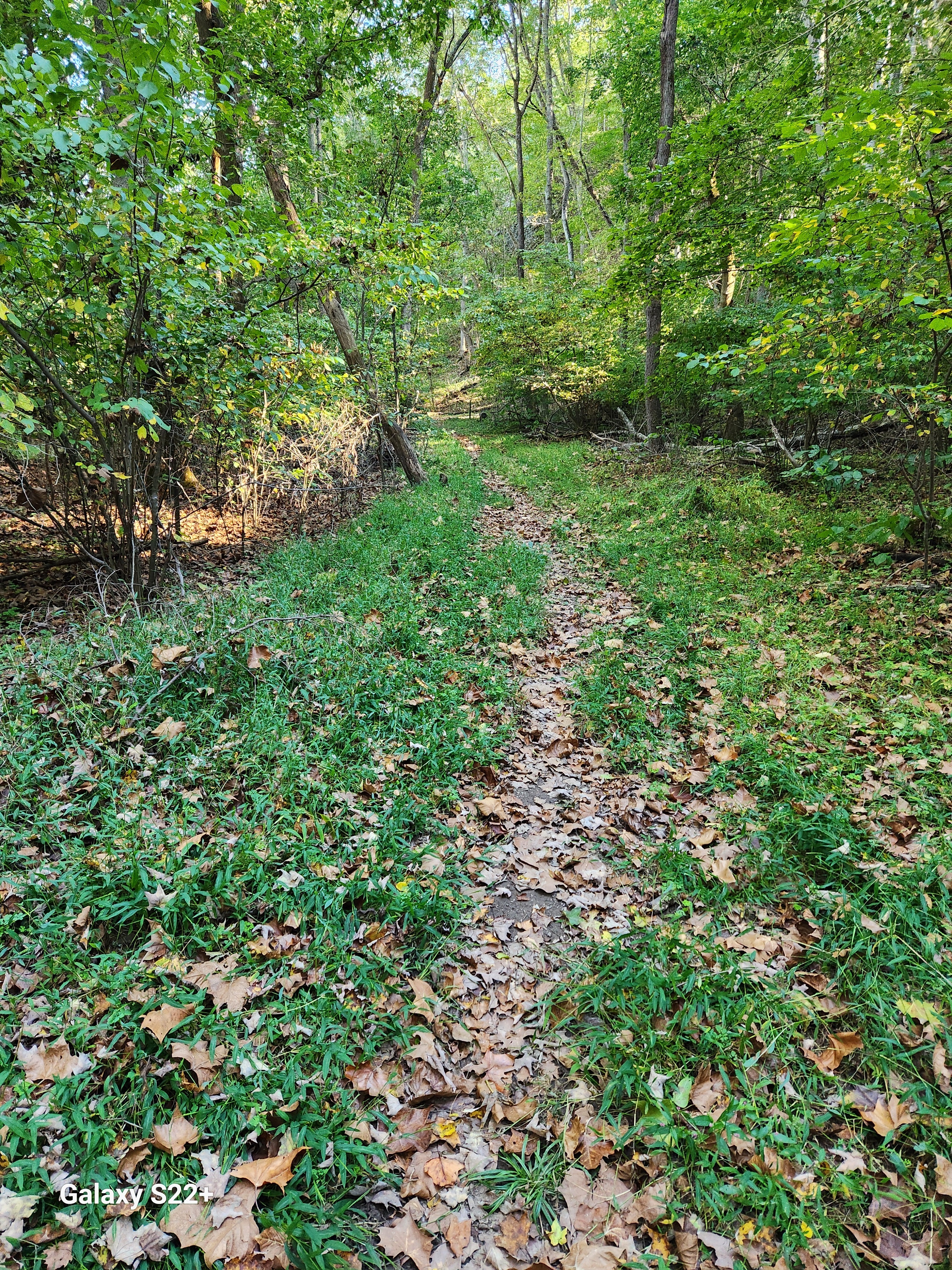
Cross the Rocky Road Trail and begin hiking on the Roller Coaster. This trail is aptly named as is just goes up and down. Nothing is too strenuous, and it is wide and easy to follow. It begins in the cedar thicket. Passes through a stand of tall white pine and ends under a canopy of tall stately hardwoods. There is one long climb that ends with a small wooden bench. The distance to the bench is about 0.6 miles. The other notable feature of this section of the loop is the sharp drop on the left. This escarpment ends on the floodplain of the Maury River.
After a short descent, the Roller Coaster Trail meets a road. Turn left on the road. A short distance later is a trail sign for the A.T. This is not the actual Appalachian Trail. Turn left and begin an easy descent down the escarpment to the floodplain. The A.T. ends at another trail junction. The Me Trail continues straight, the Rocky Road Trail goes to the left, and the Mudslide Trail turns to the right.
Turn right on the Mudslide Trail. It descends a short distance and becomes basically a flat trail. Some big sycamore trees line the path. It continues the flat grade to a sharp switchback to the left. On the right is the Stairway to Heaven or Hell, depending on the direction one is traveling. Take the switchback. The distance is 1.2 miles.
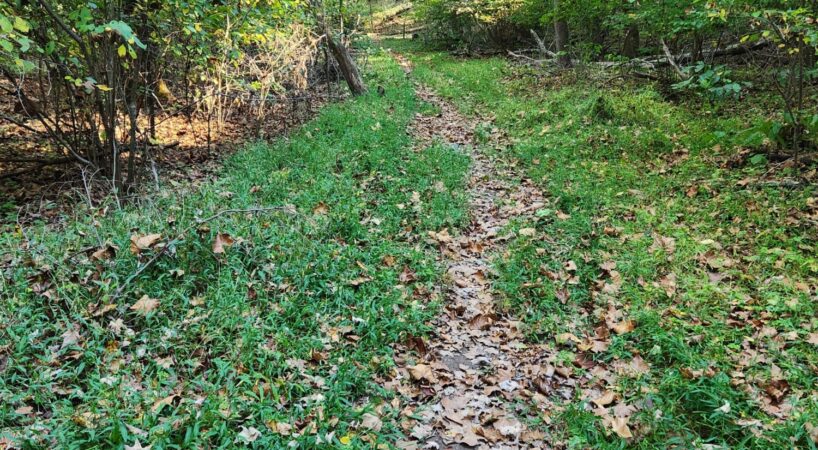
The Mudslide Trail changes to the Riverside Trail. Again, aptly named as it follows the Maury River upstream. The Riverside trail is flat and easy to follow. The Maury River is on the right. It intersects the Me Trail at 1.35 miles. Turn left and follow the Me Trail. At first, it is easy, but the last half is an easy climb back to the junction with the A.T., Mudslide, and Rocky Road Trail. The distance is 1.45 miles.
Turn right on the Rocky Road. Like all the other trails, it is wide and easy to follow. It passes the Rae Trail at 1.65 miles. It exits to the right and leads back to the Riverside Trail. It passes the Doe Trail at 1.75 miles. It exits to the right and leads back to the Riverside Trail. Either of these trails can be used to complete the hike as well. After the Doe Trail, the Rocky Road begins to climb out of the floodplain. There are a series of bends and turns as it makes its way uphill. There is an “S” bend at 1.95 miles just before the junction with the Boneyard Trail. Turn right on the Boneyard Trail to return back to the parking lot.
Driving Directions
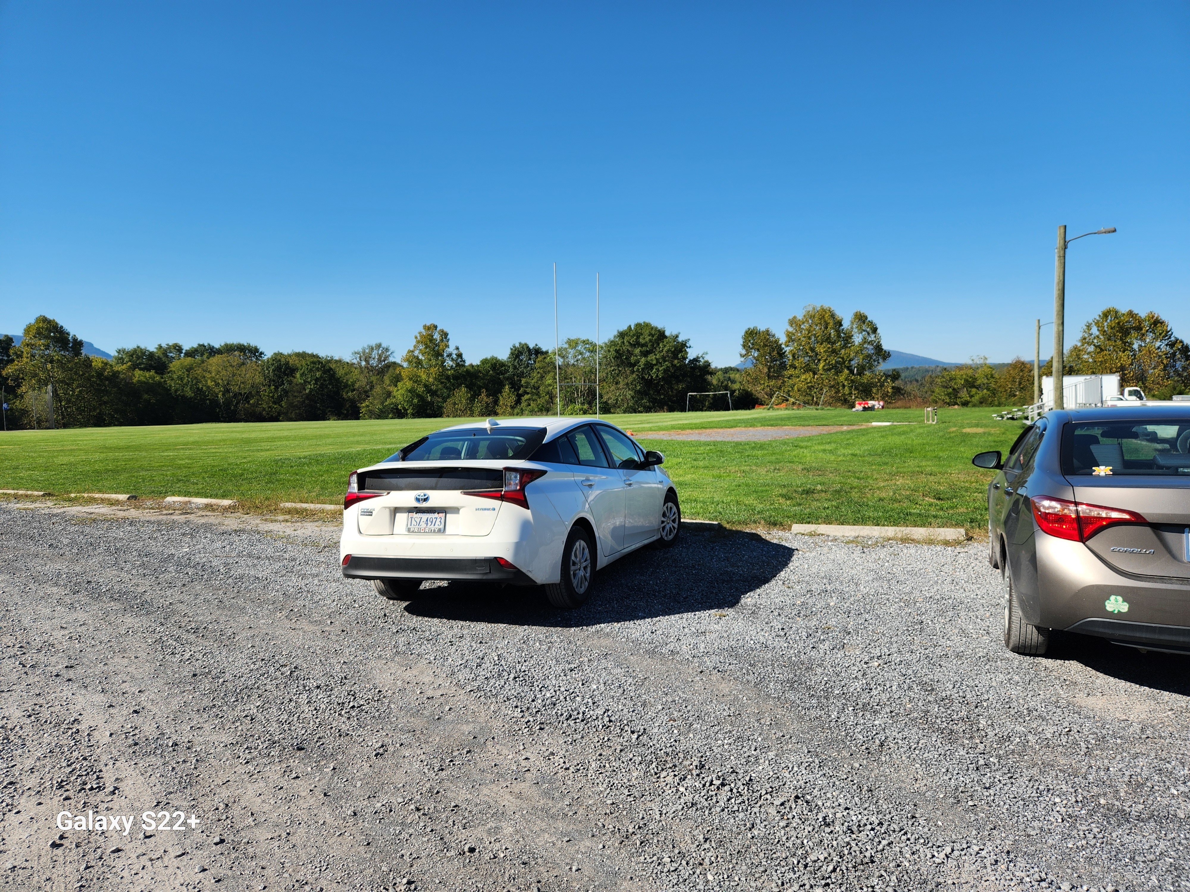
Turn right onto East Washington Street and proceed 0.4 miles to a stop sign. Turn right on West Nelson Street and continue 0.5 miles, and turn right on West Denny Circle. This is just past the W&L athletic fields. Travel 0.1 miles to Boneyard Road. Turn left on the gravel road and proceed 0.1 miles to a parking area.


