Humpback Rocks
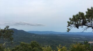
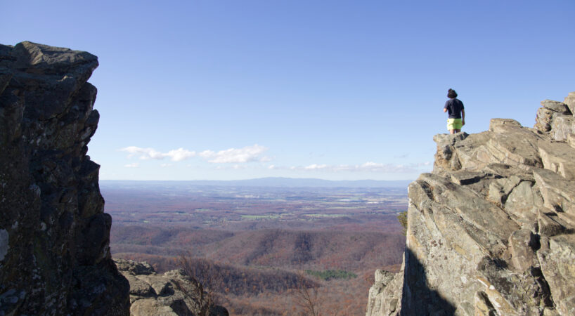
The 1.0-mile trail to the main attraction, Humpback Rocks, is challenging, gaining approximately 800' in elevation, but the views from the Rocks are stunning, looking west onto the Shenandoah Valley and north to Shenandoah National Park.
Description
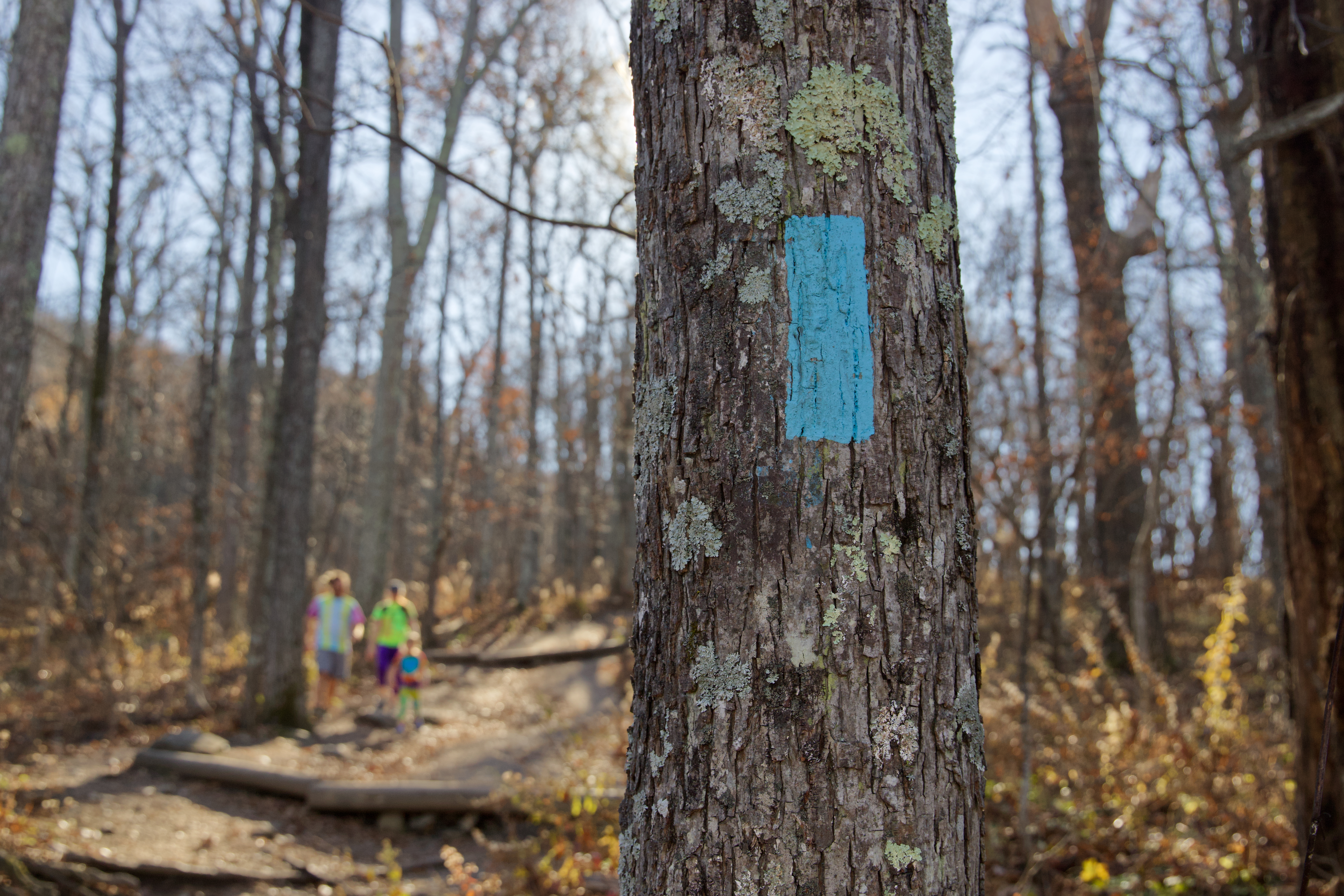
Humpback Rock is a strenuous 1-mile each-way hike gaining about 800 feet of elevation. For a longer route with fewer crowds, take the Appalachian Trail south on the way back to the parking area after enjoying the views at the summit. Humpback Rock is underlain by an enormous granite formation created during the Grenville Orgony the ocean floor about a billion years ago.
Driving Directions
Take I-81 North towards Staunton, turn onto I-64 East towards Charlottesville, take exit 99 for US 250 towards Afton/Charlottesville, turn right onto state road 610, in 4.4 miles, turn left onto the Blue Ridge Parkway, parking area is in 1.5 miles on the right.
Tips
Camping is available nearby in the Sherando Lake Recreation Area in the George Washington National Forest off the Blue Ridge Parkway, a few miles south. Coming from the north on the Appalachian Trail, there is an AT shelter called the Paul C. Wolfe shelter.
Insider's Tips
Grab a lunch and beer from a local brewery to take to the top for a picnic. The views are beautiful and perfect for a sunrise, lunch, or sunset picnic!